What's Georito About

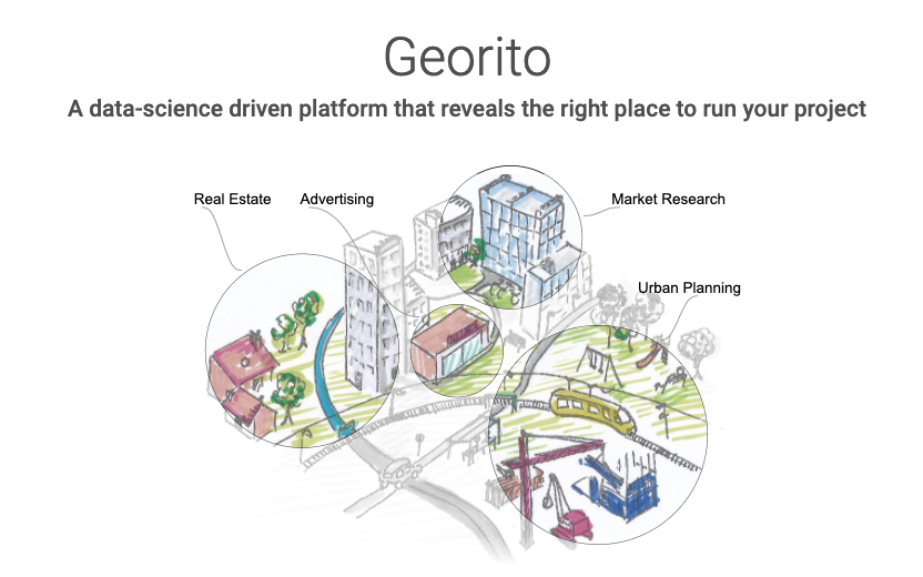
Georito works on a set of tools to manage and analyze geographical data. Our clients are developers and integrators who need to build geographic functionalities into their internal or external systems.
Our platform contains 3 main modules T! - GeoTransform, GeoCMS and GeoAnalyse. You'll find in this blog article a brief description of our upcoming tools. A first free version of T! is up and running.
T! - GeoTransform allows you to transform and share geographic data with your colleagues. It is like a WeTransfer but for geographical data. https://t.georito.com/
GeoCMS (Geographical Content Management System) manages collaborative work around several projects, including several datasets.
GeoAnalysis module works on top of the previously mentioned blocks and makes it possible to analyze geographic information and to produce suitability analysis. We name it a Geographical Insight Engine. https://www.georito.com/
Developers can access all functionalities of the platform by APIs. Server-side API allows to manage geographical data on the server. Client-side API allows to communicate with the server and provides visual components (widgets) easily integrable in customer's websites.
The business model
Commercialization is based on a paid hosted version and paid access to the GeoAnalysis module.
The marketing of the platform's services is comparable to, for example, Strapi. They allow users to manage data and services themselves for free or to pay Strapi for hosting.
The hosted mode of our platform will come in several formulas :
- free for testing, including limited resources
- a paid formula with a possibility to include GeoAnalysis
T! GeoTransform https://t.georito.com
GeoAnalyse https://www.georito.com/
